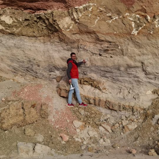
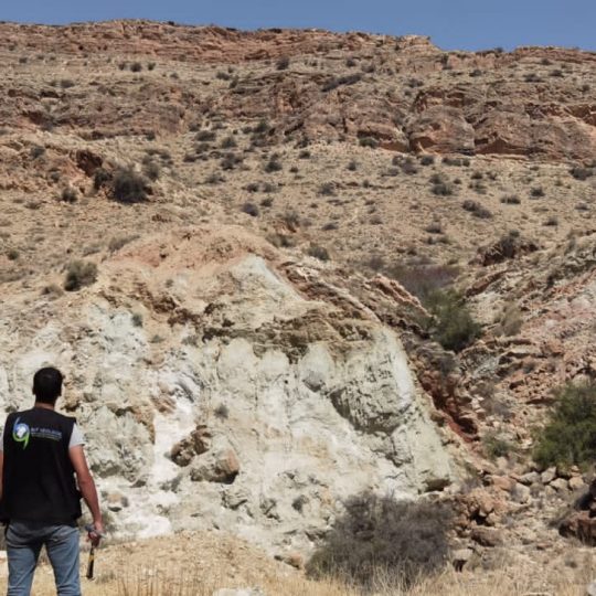
BUT Géologie carries out missions of study of rock walls and slopes in order to highlight the possible instabilities, to quantify the risks and to propose ways of correcting them.
BUT Géologie provides technical assistance, management and full control of mining sites, drilling and mining operations according to the most modern methods, techniques and technologies.
We also provide advice and technical support during the opening and operation phases, as well as audits and technical skills.
Our services
Tactical and strategical exploration
- Geology and metallogenic synthesis at the regional or national level, thematic mapping with GIS, identification of targets, fluvial sediments, soil geochemistry…
- Conducting and monitoring reconnaissance, geophysical, geochemistry, correlations and interpretation of data…
Pre-feasibility study
- Technical and economic studies on the various operating and processing projects.
- Local assessment of reserves.
- Environmental feasibility (hydraulic, hydrogeological, ecological, socioeconomic…) and geotechnics.
- Precise cost estimates
Regulation of exploration and operating permits, explosive ordnance disposal plans and performance of various types of technical and environmental studies.
- Applying local regulations and advising on regulatory changes.
- Assisting and following up on applications for exploration and development permits, applications for operating permits, administrative procedures for obtaining research permits and preparing commitments for issuing operating permits.
- Proposal of methods and elaboration of exploitation plans, according to Tunisian standards and regulations, as well as planning of developments and rehabilitation plans for the different types of quarries: aggregates, sands, gypsum, granites, ….
- Assistance in selecting equipment, mechanical machines, crushing and screening stations, silica sand treatment plants, depending on the nature of the quarry, the geology reserves, the needs of the promoters, etc.
- Geological field studies and proposal of potential sites of calcium carbonates, siliceous sands, clays, marble stones…
Recognition and assessment of reserves based on the quality of deposits.
- Drilling Monitoring, 3D Geological Modelling, Mining Geostatistics, Resource and Reserve Valuation, Mining Projects (3D Modelling), Mining Diagrams, Mineral Processing – Processing Diagrams, Cost Estimation.
- Technical assistance and overall management of production sites as well as drilling and extraction works.
“BUT Géologie” provides you with professionals specialized in mapping the prospected terrain, structural geology, sampling work, searching for useful substances, carrying out core drilling and interpreting data from reconnaissance drilling (correlations).
Conducting and interpreting reconnaissance drilling (core drilling), supplementing and specifying the data collected during field surveys for the understanding and knowledge of the composition of the subsoil.
Through these actions, BUT Géologie intervenes in the field of mines and in particular, quarries and open-pit mines, whether for the search for new operating sites, expanding existing sites or rehabilitating derelict sites.
- Terrain mapping
- Structural geology
- Sampling works
- Search for useful substances
“BUT Géologie” has all the expertise and technical know-how to apply the many and varied practical applications of hydrology and hydrogeology.
BUT Géologie is specialised in the study of water catchments and piezometers. It provides you with a team specialized in the development of specifications, including water well drilling projects. BUT Géologie is also specialised in the study of water catchments and piezometers. It provides you with a team specialized in the development of specifications, including water well drilling projects.
Our office oversees the drilling process in order to optimize the dimensioning of the structure and its equipment, according to the observations of the site.
Our team performs pumping tests and interprets the removal of wells, as well as other tasks:
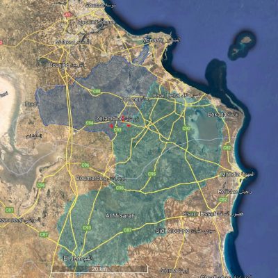
- Calculating the perimeters of prevention zones around all types of basins (wells, drains, sources, etc.).
- Determination of perimeters by conducting tracing tests by measuring transfer rates inside aquifers.
- Determination of aquifers characteristics (type, hydrodynamic parameters: porosity, permeability, transmissivity, storage coefficient, etc.).
- Estimation of aquifers reserves…
- Calculating the exploitation rate of a water well…
“BUT Géologie” is your partner to perform analyses before your mining exploration projects. These include a range of operations necessary to acquire knowledge for the qualitative and quantitative evaluation of a mineral deposit. We participate in road and construction projects as well.
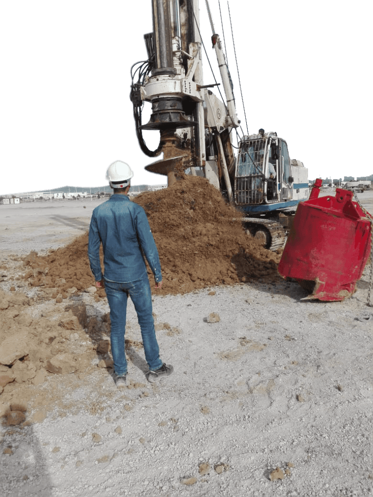
The different approaches taken for geotechnical projects will measure or identify the following parameters:
- Lithostratiography and subsurface geomorphology.
- Subtances levels
- Soil permeability
- The carrying capacity of a soil (penetration tests, cavity research, pressure tests, etc.)
- Selection and design of the infiltration system for wastewater or treated water (dispersal drains, infiltration bed or mound)
- Karst areas Identification
- Conception and sizing of foundation and support projects
- Geotechnical investigation checking and supervising
- Technical support on site
“BUT Géologie” offers its customers a range of geophysical prospecting solutions.
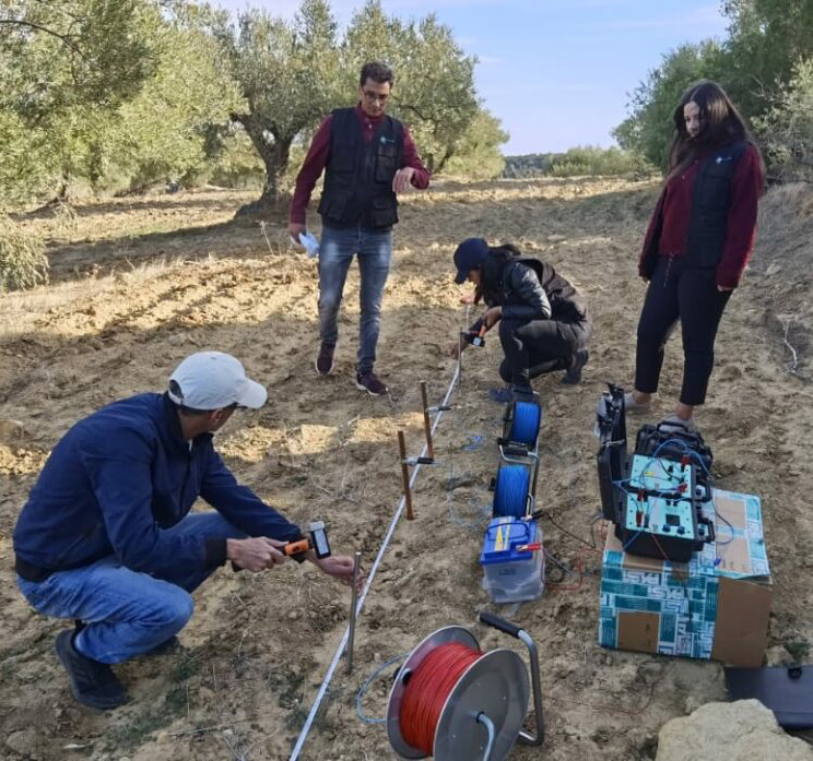
Electrical methods
Electrical methods are mainly based on the distribution of electrical potential in the ground. Measuring the electrical resistivity of the ground provides quantitative and qualitative results.
Geological interpretation of the results makes it possible to distinguish between healthy rock masses, altered zones, water-saturated zones and natural accidents.
Seismic methods
Seismic methods are useful in the field of civil engineering and allow to reveal the thickness of easily excitable terrains or to position the roof of the compact bedrock. They also allow to highlight the deconsolidated or karstified zones within the limestone massif or evaporites.
BUT Géologyie carries out studies of the impact of mine blasts on towns or other nearby sites in order to establish appropriate technical and safety measures.
Ground penetrating radar
Ground Penetrating Radar is a non-destructive geophysical prospecting technique based on the analysis of propagation phenomena (refraction, reflection and diffraction) of high-frequency electromagnetic waves.
The use of frequency-based georadar is a recent technique associated with instrumental constraints which has been the subject of a significant amount of research in various fields of application: Archaeology, Hydrogeology, Strategic Studies, Civil Engineering, etc.
“BUT Géologie” offers a wide range of expertise and services, as well as a wide range of computing tools in geographic information systems (GIS): ArcGis, Global-Mapper, QGIS, GvSIG, Envi…
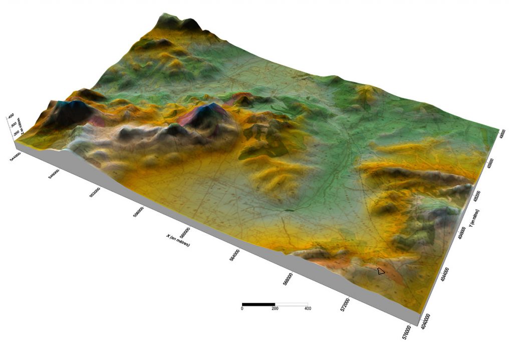
Our experts master a multitude of tools and GIS systems to serve our customers.
We act in a methodical way to update our skills and knowledge by integrating the latest techniques and systems.
- Digitisation and vectorisation of plans (urban data, geological data, etc.)
- Production of the map base (raster and vector)
- Design and modeling of geographic databases
- Field survey
- Production of cartographic documents and creation of geolocated data.
- Digital cartography.
- Digital rendering at different scales.
- Georeferencing of maps, plans, satellite images, etc.
- Production of Digital Terrain Models (MDT).
- Thematic cartography.
“BUT Géologie” is involved in the field of environment and nature protection by deeply assimilating the issues of sustainable development and climate change.
Technical assistance and support to industries in environmental projects
- Environmental analysis at several scales of observation at the level of industrial units: cement plants, crushing and screening units…
- Regulations concerning the different types of waste from an industrial activity: industrial waste, liquid waste, atmospheric waste, etc.
- Optimization and valorization of various types of waste…
- Proposal of an innovative environmental strategy.
- Solving environmental problems.
L’élaboration et le suivi des Plans de gestion environnemental et social (PGE).
Realization of environmental studies for industrial units: cement plants, crushing and screening units...
- Etudes d’impact sur l’environnement
- Remediation studies
- Environmental Assessments and Audits
- Environmental notes
- Environmental Assessments
INTERNATIONAL
Access to our customers, management and optimization of our professional network have always been one of the major concerns of our design office “BUT Géologie”. In addition, we never stop developing our activities abroad and particularly in sub-Saharan Africa and the Middle East.


